Quick Navigation
- Two Rocky Headlands Decide Everything
- The Sheltered Beaches, Where Most People Actually Swim
- The Ocean Beaches, and Where They Are
- The One Stretch of Water to Stay Out Of
- The Sewage Question, Answered With the Municipality's Own Numbers
- Green Hole is the one bathing spot on the failing list
- How Much Beach There Is Depends on the Tide
- Matching the Water to the Day
- Common Questions About Knysna's Beaches
- Does Knysna have a beach?
- Is it better to swim in the sea or in the estuary at Knysna?
- Which Knysna beach is best for young children?
- Can you swim at the Knysna Heads?
- Is the water in Knysna clean enough to swim in?
- Do you need a car to get to a beach in Knysna?
- Where do the facts on this page come from?
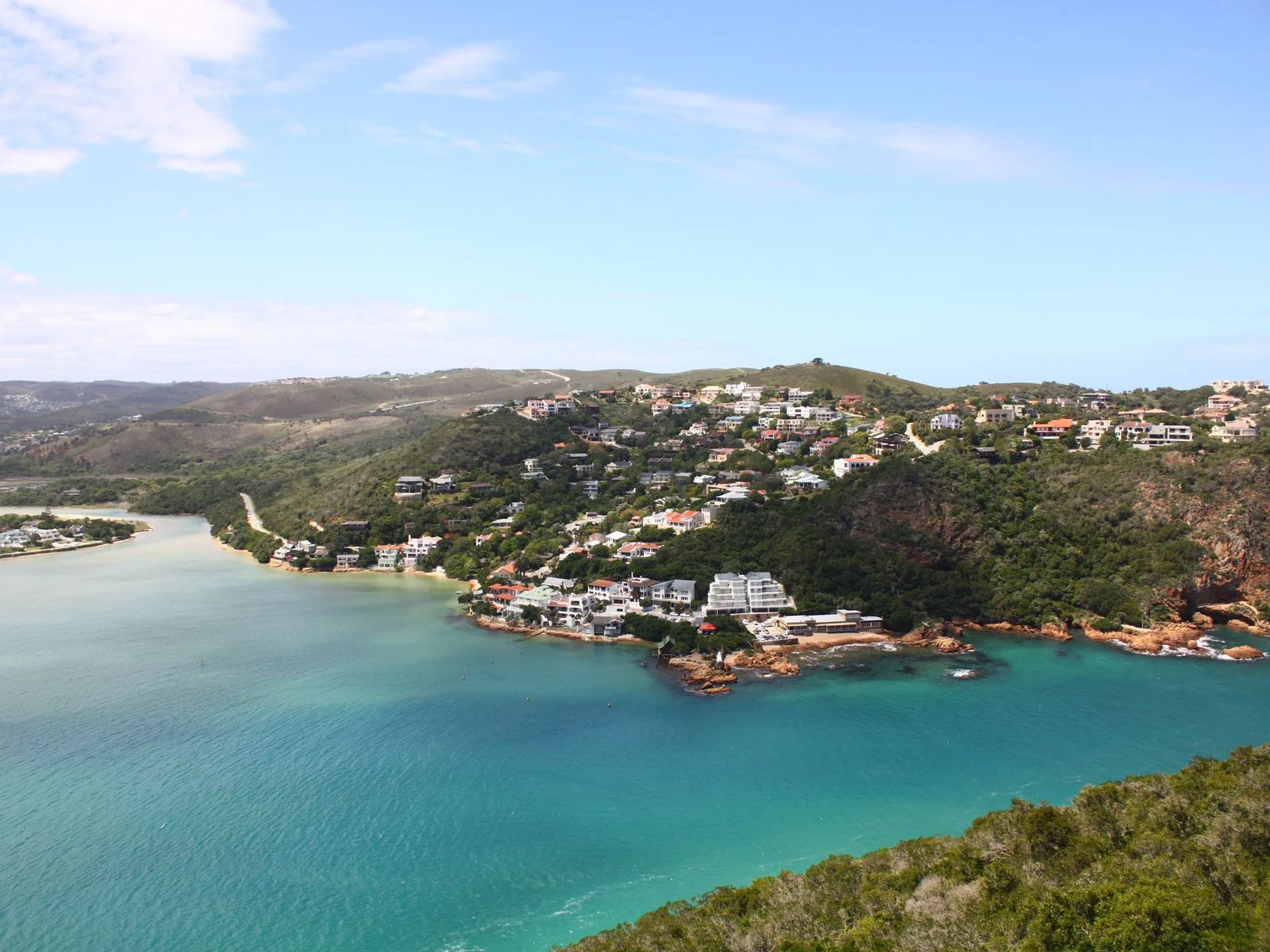
Yes. Knysna has beaches, and more of them than most visitors expect — but the ones you can actually swim off are not on the sea. The town sits on an estuary, almost closed off from the Indian Ocean by two rocky headlands, and that single piece of geography decides where the water is flat, where it is rough, and where you should not get in at all.
It is a reasonable thing to wonder about. Knysna is on the Garden Route, the pictures are all of water, and yet the town itself has no surf beach of its own. What it has instead is a large sheltered estuary with sandy edges, and a set of proper ocean beaches a short drive away on either side.
The distinction matters more than it sounds. If you arrive picturing breakers at the end of the road, the estuary will confuse you. If you arrive picturing flat, shallow, child-height water, it is exactly right.
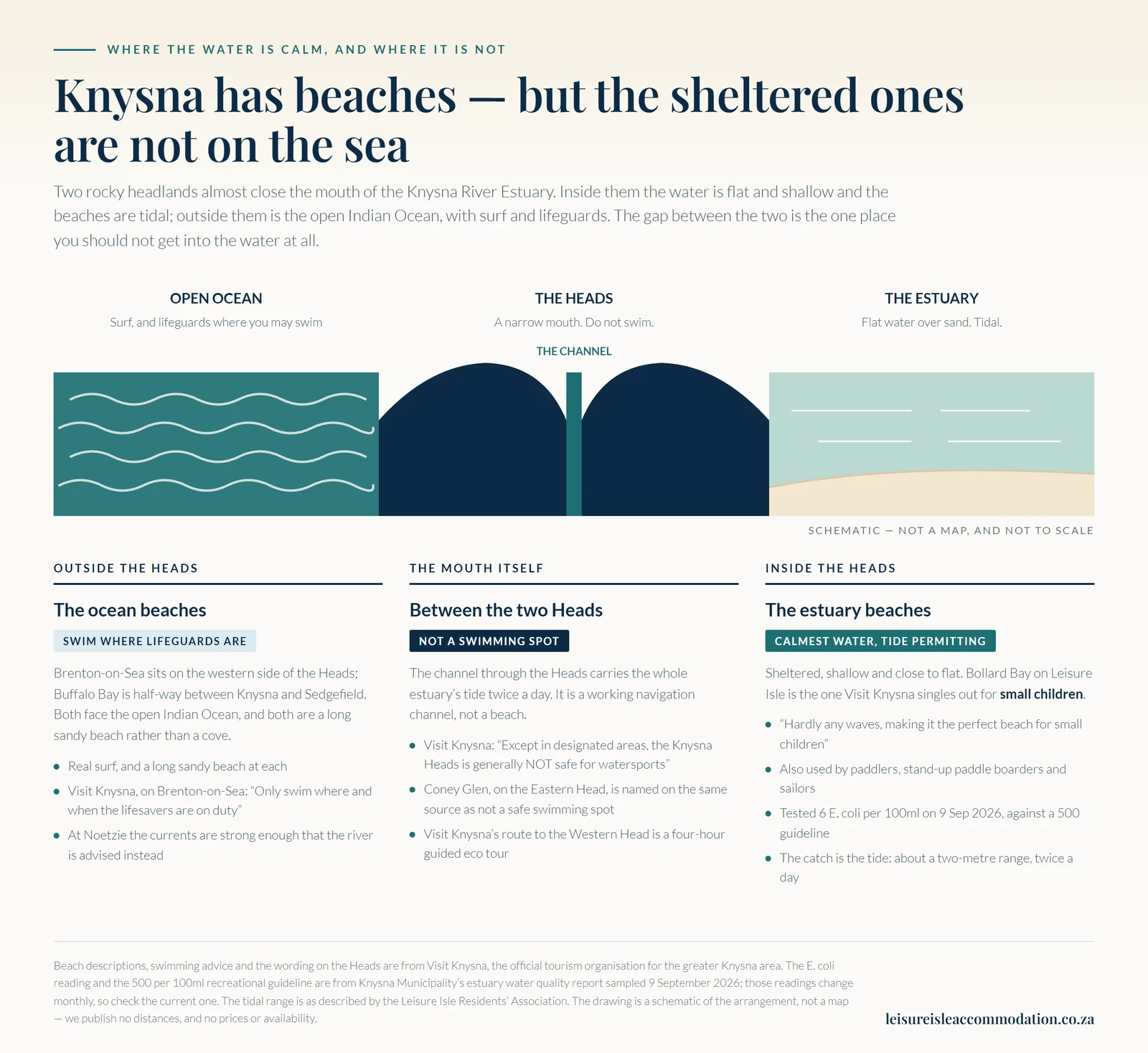
Below, what is where — and which stretch of water suits which kind of day. If you already know you want the sheltered side, that is the water the 53 places to stay on Leisure Isle sit on.
Two Rocky Headlands Decide Everything
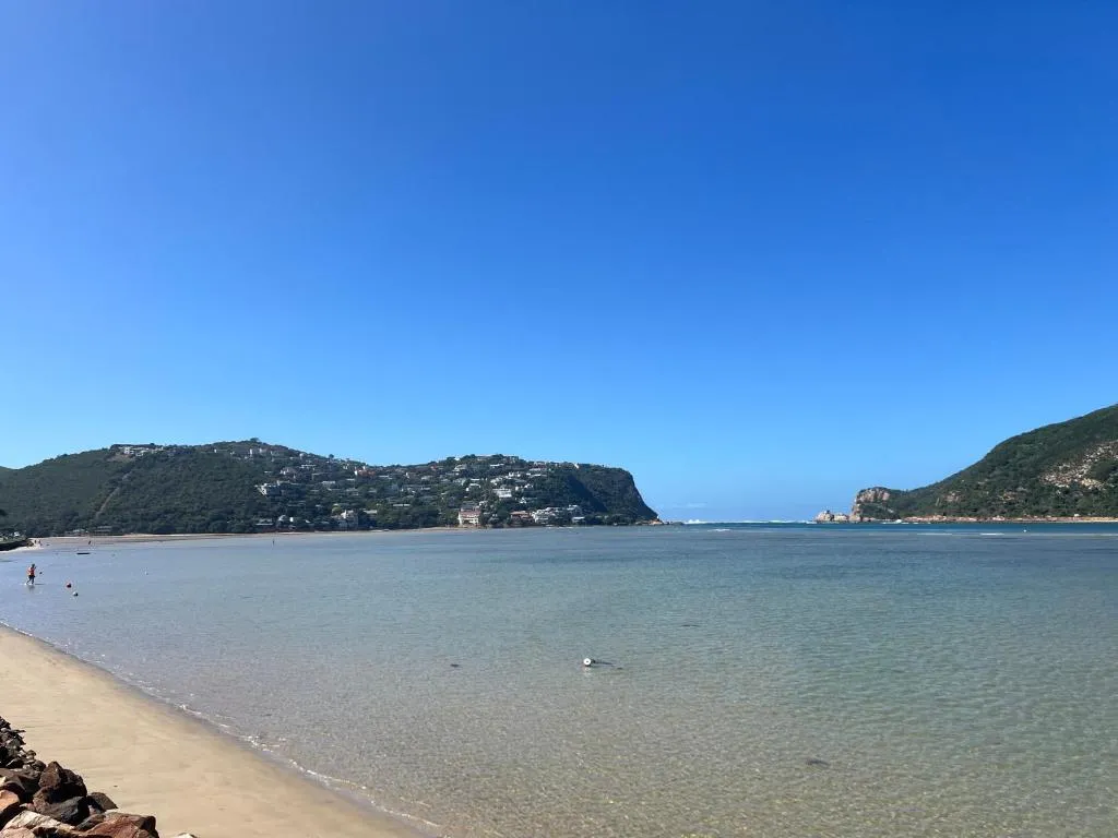
Knysna's water is not a bay and not really a lagoon, although almost everyone calls it one. Visit Knysna, the official tourism organisation for the greater Knysna area, puts it plainly: “The Knysna Heads are the headlands of two peninsulas that enclose and form the Knysna River Estuary.”
Those two headlands leave only a narrow mouth between them. Everything inside is sheltered from the swell; everything outside is open ocean. That is the whole story of Knysna's beaches in one sentence.
The two Heads are not interchangeable
- The Eastern Head is the one you can drive to. Visit Knysna describes it as given over to residences, farmland and a golf course, with the Heads Viewpoint at the top of Coney Glen Road.
- The Western Head is the one with the arch-shaped cliff, and it is the site of Featherbed Nature Reserve. Visit Knysna's instruction for visiting it is to take a four-hour guided eco tour, which includes a ride to the end of the peninsula and a coastal walk.
The Sheltered Beaches, Where Most People Actually Swim
Inside the estuary the water is shallow, clear and close to flat. There is no swell to speak of, because the Heads have already stopped it. The beaches are sand, they shelve very gently, and they are busiest in the summer school holidays.
The one Visit Knysna singles out is on our island. It describes Bollard Bay, on Leisure Isle, as having “hardly any waves, making it the perfect beach for small children” — and notes that the same water is popular with paddlers, stand-up paddle boarders and sailors.
The estuary is the reason people with small children keep coming back to Knysna rather than to the surf towns on either side of it.
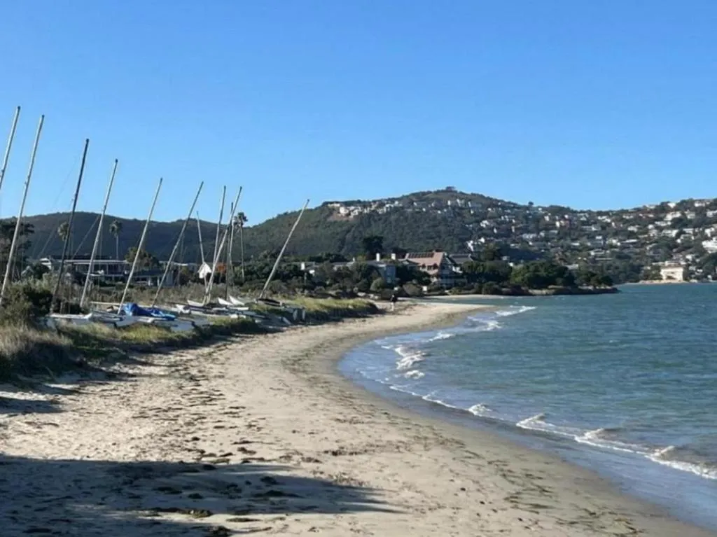
The same shelter is why the estuary is used for sailing and paddling at all. Flat water and no shore break make it a forgiving place to put a small boat in.
Planning your trip
Staying overnight? Compare live prices and availability for places on Leisure Isle on Booking.com.
Compare Leisure Isle staysWe earn a small commission if you book through this link, at no extra cost to you.
The Ocean Beaches, and Where They Are
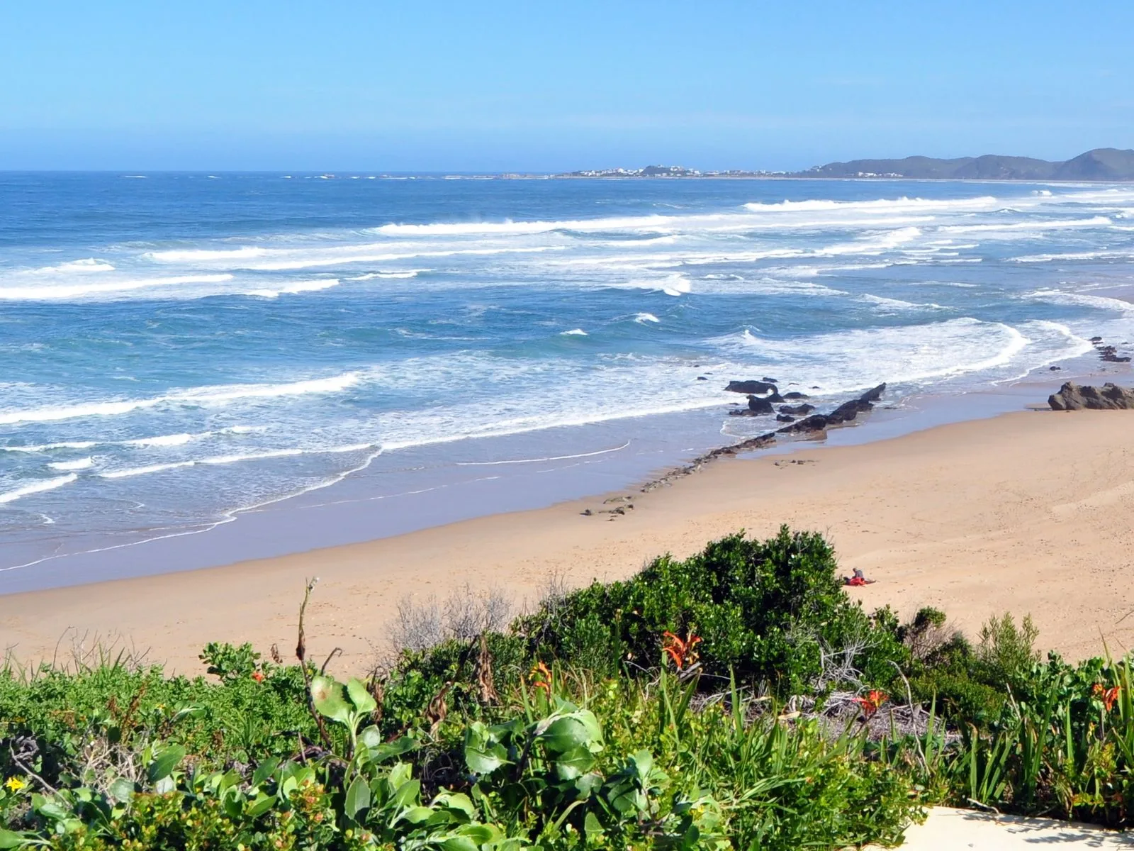
If you want surf, sand underfoot and lifeguards, you leave the estuary. The two people actually drive to are Buffalo Bay and Brenton-on-Sea, both facing the open Indian Ocean, and both a long sandy beach rather than a cove.
The open-sea options, in Visit Knysna's own words
- Buffalo Bay — half-way between Knysna and Sedgefield. “Safe swimming makes Buffalo Bay one of the favourite family beaches in Knysna.” The quieter “Wild side” stretch, which forms part of a nature reserve, is the section where Visit Knysna advises swimming only when lifeguards are on duty.
- Brenton-on-Sea — on the western side of the Heads, and described as “a secluded seaside village with spectacular ocean views and a long sandy beach”, with rock pools and sandstone formations. Not all of it is safe for swimming: “Only swim where and when the lifesavers are on duty.”
- Noetzie — wild and spectacular, but the sea currents are strong enough that swimming in the river is advised instead of the sea.
All three are a drive rather than a walk from the town or the island. That is the trade-off: the calm water is on your doorstep, and the surf takes a car.
The One Stretch of Water to Stay Out Of
The gap between the two Heads looks inviting from the viewpoint above it. It is the one part of Knysna's water where you should not swim.
Everything that moves in and out of the estuary on each tide moves through that narrow channel, and it is a working navigation route as well. Visit Knysna is blunt about it: “Except in designated areas, the Knysna Heads is generally NOT safe for watersports.” The same source names Coney Glen, the small beach tucked under the Eastern Head, as not a safe swimming spot.
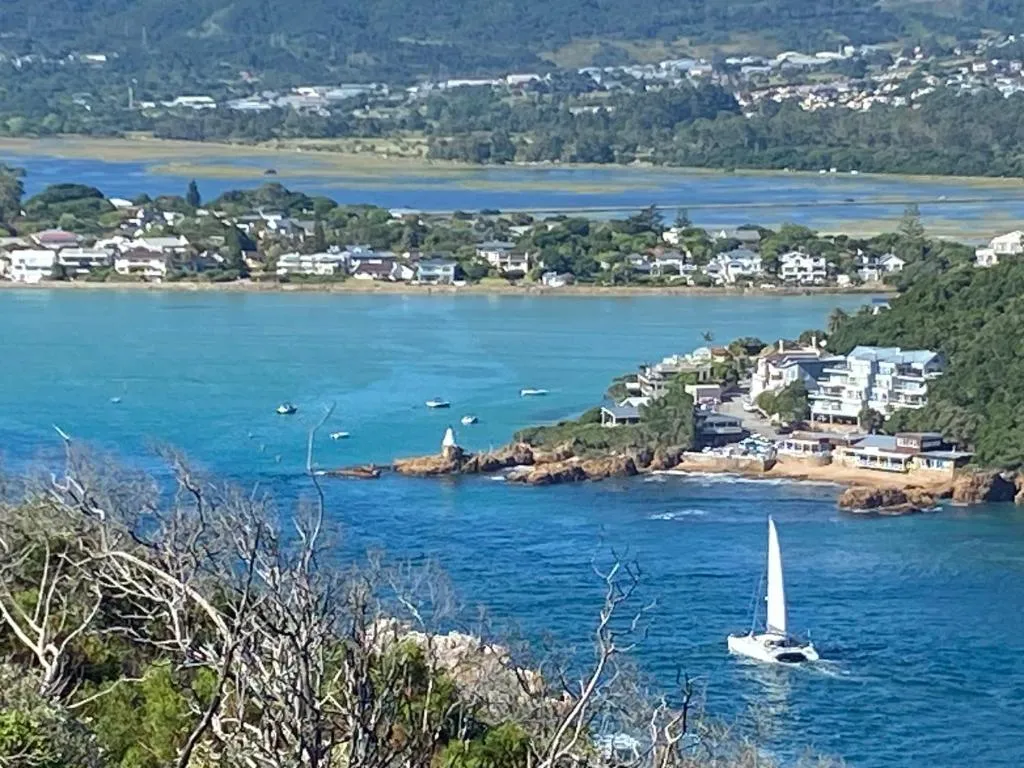
Worth knowing before you go looking. A beach being beautiful, photographed constantly and easy to reach does not make it a swimming beach. At the Heads, the view is the attraction and the water is not.
The colour of the water is a fair guide to its depth from a high vantage point, but it tells you nothing about what the tide is doing underneath. Neither does a photograph.
The Sewage Question, Answered With the Municipality's Own Numbers
Knysna's estuary has a real and continuing sewage problem. It would be dishonest to write a page about swimming here and leave that out. It is also more specific than the headlines suggest, and the specifics are what decide whether you get in.
Knysna Municipality samples the estuary monthly and publishes an E. coli reading for every point. The national guideline it measures against is 500 per 100ml for recreational use. In the report sampled on 9 September 2026, the results split cleanly in two.
The 9 September 2026 sampling, by site
- Within the guideline — Bollard Bay on Leisure Isle at 6, Belvidere at 16, Lake Brenton at 30, The Heads at 70 and Crabs Creek at 135, each per 100ml.
- Over it, and flagged non-compliant — Green Hole at 1 010, Salt River at 9 500 and Costa Sarda at 26 900.
- All six stormwater culverts failed. Culverts are drains, not bathing places. Counting them alongside the beaches is what produces the alarming site-ratios you may have read.
The failures cluster at freshwater inflow points and drains rather than at the swimming beaches, and that holds in most months rather than all of them. On the September sampling the water off the island tested the lowest of every recreation point.
Green Hole is the one bathing spot on the failing list
One exception deserves naming, because it is a bathing spot rather than a drain. Green Hole was comfortably inside the guideline for the first four months of the year: 5 in January, 320 in February, 42 in March and 90 in April.
It has been over the guideline in every report since — 2 500 in May, 890 in June, 810 in July and 1 010 in September. Four consecutive reports is a pattern rather than a blip, and it is the one spot on this page we would tell you to keep children out of for now.
These readings change every month, so treat the ones above as a snapshot and not a standing fact. Bollard Bay is the example that makes the point. Across the eight reports published in 2026 it read 44, 620, 430, 2, 27, 8, 23 and 6.
Seven of those are inside the guideline. One is not: February, at 620, which the municipality flagged non-compliant. So the water off the island is usually clean rather than always clean, and the honest advice is to look rather than to assume. Read the current month on Knysna Municipality's estuary water quality page, which is where every figure here comes from.
How Much Beach There Is Depends on the Tide
The estuary beaches change shape twice a day. The Leisure Isle Residents' Association puts the tidal range at about two metres, which is enough to turn a swimmable edge into a wide flat of sand and salt marsh, and back again.
This catches people out often enough that it is worth planning around rather than discovering. Aim for the top half of the tide for swimming, paddling and putting a boat in; the bottom half is better for walking, birds and looking for things in the shallows.
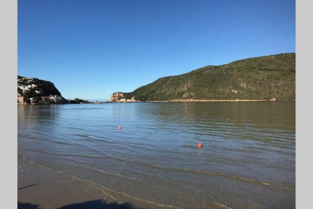
For the full version of how the tide reshapes the island's shoreline, and what the island itself is like to stay on, we wrote a longer guide to what Leisure Isle is actually like.
Matching the Water to the Day
A short version, if you are deciding where to spend an afternoon.
| If you want | Go | The catch |
|---|---|---|
| Small children in the water | The estuary beaches, Bollard Bay among them | Time it for the top half of the tide |
| Surf and a long sandy beach | Buffalo Bay or Brenton-on-Sea | A drive, and swim near the lifeguards |
| Paddling or a small boat | The estuary, which is what it is used for | Wind matters more than swell here |
| The famous view | The Heads Viewpoint on the Eastern Head | It is a viewpoint, not a swimming spot |
| A walk rather than a swim | The estuary shore on a falling tide | Sand underfoot is wet, not soft |
The island sits on the sheltered side of that divide, whether what you want is a whole house, an apartment or a guest house. There is more to do around the estuary than swim in it, which we cover separately in our guide to things to do in Knysna.
Common Questions About Knysna's Beaches
Does Knysna have a beach?
Yes, several. The ones in the town's own water are estuary beaches — sheltered, shallow and sandy, with very little wave action. The open-sea beaches, with surf and lifeguards, are outside the Heads at Brenton-on-Sea and Buffalo Bay. Knysna itself has no surf beach in the middle of town, which is what surprises most first-time visitors.
Is it better to swim in the sea or in the estuary at Knysna?
They are different swims rather than better and worse. The estuary is calmer, shallower and warmer, with almost no wave action, which is why it suits small children and anyone on a paddleboard. The open sea at Brenton-on-Sea and Buffalo Bay gives you surf, a long beach to walk, and lifesavers on duty over the summer holiday season.
The one stretch that is neither is the mouth between the Heads, which is not a swimming spot at all.
Which Knysna beach is best for young children?
Visit Knysna names Bollard Bay on Leisure Isle, describing it as having hardly any waves and calling it the perfect beach for small children. That is their assessment rather than ours, but it matches what the estuary is like: flat water shelving very gradually over sand.
Can you swim at the Knysna Heads?
No. Visit Knysna states that except in designated areas the Knysna Heads is generally not safe for watersports, and names Coney Glen, the beach below the Eastern Head, as not a safe swimming spot. The whole estuary's tide moves through that narrow channel twice a day, and boats use it. Go for the view.
Is the water in Knysna clean enough to swim in?
At the swimming beaches, on the most recent sampling, yes. Knysna Municipality publishes a monthly E. coli reading for each point against a recreational guideline of 500 per 100ml. On 9 September 2026 Bollard Bay, Belvidere, Lake Brenton, The Heads and Crabs Creek all read well inside it.
The sites that fail are freshwater inflow points such as Salt River and Costa Sarda, the six stormwater culverts, and, since May, Green Hole. Bollard Bay has been inside the guideline in seven of the eight reports published in 2026; the exception was February, at 620. The readings move every month, so check the municipality's current report rather than trusting this page's snapshot.
Do you need a car to get to a beach in Knysna?
Not for the estuary beaches if you are staying on or beside the water — on Leisure Isle the shoreline is a walk. For the ocean beaches at Brenton-on-Sea, Buffalo Bay or Noetzie, yes.
Where do the facts on this page come from?
Beach descriptions, swimming advice and the wording quoted about the Heads are from Visit Knysna, the official tourism organisation for the greater Knysna area. Every E. coli figure is read from Knysna Municipality's own monthly estuary reports, which is also where the 500 per 100ml recreational guideline comes from. The tidal range is as described by the Leisure Isle Residents' Association.
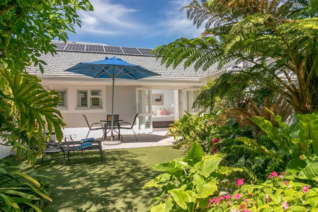
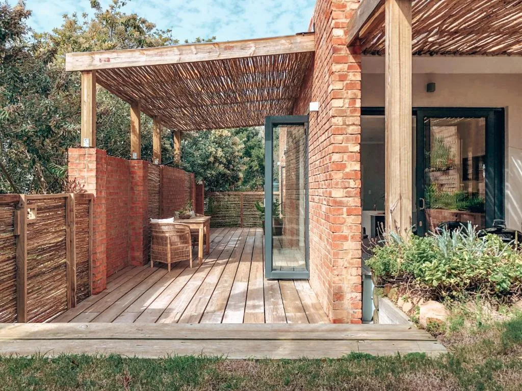
The photographs of the estuary are listing photographs from the properties named in each caption. The beach photograph at the top of this page is by Meraj Chhaya, published under a Creative Commons Attribution 2.0 licence via Wikimedia Commons, and cropped for this page. The Creative Commons photographs used elsewhere on the site are listed on our credits page.
We publish no prices, rates or availability, and no distances — those change, and a stale number is worse than none.