Quick Navigation
- Where Leisure Isle Is, and How You Get Onto It
- From Steenbok Island to Leisure Isle: the 1930s origin story
- Getting onto Leisure Isle: the Armstrong Road crossing
- The guardhouse at the Leisure Isle entrance is not a toll booth
- Leisure Isle or Leisure Island: two spellings, one place
- The Tide Is the Thing to Know Before You Book
- Why the Leisure Isle shoreline looks different every few hours
- Planning your days around the Knysna estuary tides
- Steenbok Nature Reserve, Which Costs Nothing
- Eating, Shopping, and What the Island Does Not Have
- Why we do not name individual businesses on this page
- The two clubs treat visitors quite differently
- The Beaches and the Water's Edge
- The named spots around the island perimeter
- Which Kind of Place to Stay Suits Which Trip
- Only eight of the 53 can show you the water from the property itself
- Common Questions About Staying on Leisure Isle
- Is Leisure Isle a good base for visiting Knysna?
- Do you have to pay to get onto Leisure Isle?
- Is Leisure Isle safe?
- Is Leisure Isle the same as Leisure Island?
- Can you swim at Leisure Isle?
- Is Leisure Isle the same thing as Thesen Island?
- Do you need a car on Leisure Isle?
- Where do the facts on this page come from?
Leisure Isle is a small residential island in the Knysna estuary, joined to the mainland by a causeway. If you have found a place to stay on it, you have probably also found that nobody quite explains what the island is. It is not a resort. It is not the Knysna waterfront. It is a suburb of houses with water all the way around it, a free nature reserve at one end, and a shoreline that looks completely different depending on what time you walk down to it. Here is the plain version, checked against what the island's own residents' association and the nature reserve say about themselves.
Where Leisure Isle Is, and How You Get Onto It
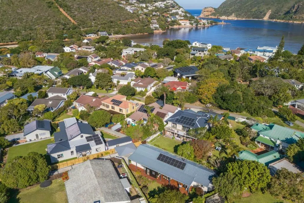
The island sits in the Knysna estuary on the Garden Route, in the Western Cape. The Leisure Isle Residents' Association describes it as "this small sandy island in the Knysna Estuary", developed as a residential suburb "in the 1930s, with the construction of a causeway linking it to the mainland, a seawall to protect it from stormy seas, and a picturesque street layout". Nearly a century on, it holds over four hundred residential properties.
From Steenbok Island to Leisure Isle: the 1930s origin story
It has a rather good origin story, which the nature reserve tells on its own history page. The island was called Steenbok Island and nobody lived on it. Then, in the reserve's words, it "captured the attention of George Cearn in 1929 and to the great astonishment of many he set about turning the uninhabited little island into a place where people could live and build their homes".
He renamed it Leisure Isle, and it "was declared a township in November 1935". During the 1930s he also laid out a nine-hole golf course on it — and the site of that golf course is the nature reserve you can walk around today. Cearn Drive, the promenade along the shore, is named after him.
Getting onto Leisure Isle: the Armstrong Road crossing
That word causeway is worth pausing on, because a great deal of writing about Knysna calls the crossing a bridge. It is not one. In OpenStreetMap the road is Armstrong Road, tagged as an embankment with a concrete surface and carrying no bridge tag at all — a raised causeway across the shallows rather than a span over open water.
It is also the only way on and off, and we checked that properly rather than taking it on impression. Build a connectivity graph of every road in Knysna, then delete Armstrong Road from it. The island's streets stay joined to each other and to nothing else at all — a claim about the map data rather than a cadastral survey, though the residents' association describes the island the same way.
What the single causeway means when you arrive
- One road on, one road off. No second road, and no footbridge either.
- No through traffic. Nobody drives across Leisure Isle to get somewhere else, because there is nowhere else to get to.
- The cars on the streets are residents and guests. That is the whole of it, and it is the thing you feel within about ten minutes of arriving.
The guardhouse at the Leisure Isle entrance is not a toll booth
This one comes up a lot, so it is worth being precise. Leisure Isle is a public residential suburb of Knysna, not a private estate, and the causeway is an ordinary public road.
There is, however, a guardhouse where you come onto the island: the residents' association says it "is manned at all times, with security guards observing all comings and goings, and providing assistance and information to residents and visitors". Their description of the job is observing and assisting, not charging, and we have found no mention anywhere of a fee to enter the island. So expect to see a guardhouse, and expect to drive on past it.
Leisure Isle or Leisure Island: two spellings, one place
One more piece of housekeeping. You will see the place written both ways. The island's own bodies mostly write Leisure Isle — the residents' association, the country club and the nature reserve all use it — while a great many maps, listings and visitors write Leisure Island. They are the same place. This site follows the island's own spelling.
The Tide Is the Thing to Know Before You Book
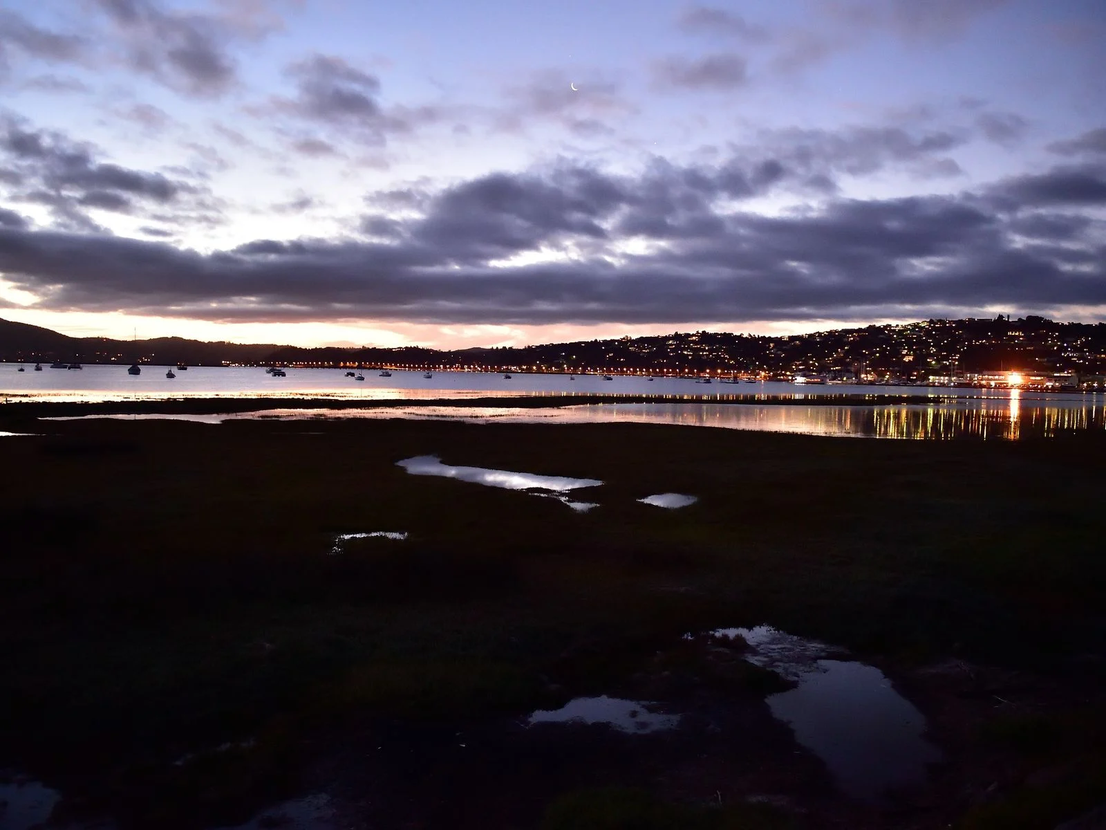
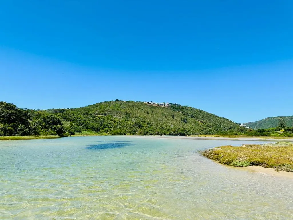
If you read one paragraph here, make it this one. The estuary is tidal, and the water around Leisure Isle moves a long way twice a day. The residents' association puts the tidal range at about two metres, and describes what that looks like: "At high tides, the water laps the tops of the seawalls. At low tides large expanses of sandy beaches and saltmarshes stretch out around the Island perimeter."
Why the Leisure Isle shoreline looks different every few hours
The shoreline you see in a photograph is a shoreline at one particular hour. Arrive at high tide and the water is right there at the wall, deep enough to swim off. Arrive at low tide and the same spot is a wide flat of sand and saltmarsh with the channel somewhere out in the middle distance.
Neither is better. But if you have pictured yourself stepping off a lawn into deep water at four in the afternoon every day, the estuary will not always oblige, and it is much nicer to know that now than to work it out on day two.
The water here is not scenery, it is something that happens twice a day — and knowing roughly when is the most useful thing you can bring with you.
Planning your days around the Knysna estuary tides
The practical version: check the tide for the days you are there, then match the activity to the half of it you are in.
Which half of the tide suits what
- Plan around the high half for swimming, paddling and launching a boat.
- Beachcombing, birds and walking are better on the low half.
The association also notes that the twice-daily tides wash the island's shores with fresh sea water from the Indian Ocean. That is worth knowing if you were picturing something more like a still inland lake — this is sea water, and it turns over twice a day.
The water you are looking at is the Knysna seahorse's best remaining home. Hippocampus capensis is, in SANParks' description, "the only fully estuarine seahorse species" — the one seahorse in the world that lives entirely in estuaries rather than the open sea.
It is found in just three of them, all in South Africa, and SANParks records that "of the three estuaries that host the Knysna seahorse, the Knysna Estuary supports the largest, most stable population". It is listed as Endangered on the IUCN Red List. You are very unlikely to see one — they are small, well camouflaged and live down in the eelgrass — but that is what the water around the island is.
Planning your trip
Staying overnight? Compare live prices and availability for places on Leisure Isle on Booking.com.
Compare Leisure Isle staysWe earn a small commission if you book through this link, at no extra cost to you.
Steenbok Nature Reserve, Which Costs Nothing
The best thing on Leisure Isle costs nothing to walk into. Steenbok Nature Reserve covers seventeen hectares along the island's northern shore, it is open at all times, and there is no entrance fee. It sits on what was a nine-hole golf course in the 1930s, which is why it reads as parkland with wild edges rather than untouched bush — mown grass and made paths at the eastern end, original salt marsh at Kingfisher Creek in the west.
It is a joint initiative by the Leisure Isle Residents Association and Knysna Municipality, run in association with SANParks. Because it is a walk rather than an outing there is not much to arrange, but the tide makes a real difference to what you see, and dogs come with rules worth knowing before you arrive. We have covered all of it — the six stops on the reserve's own map, the golf course underneath it, the birds and the flooding — in a separate guide to what the walk is actually like.
A distinction worth getting right: the protected status attaches to the estuary and the reserve, not to the whole island. Leisure Isle is ordinary freehold residential suburb with houses and gardens on it. You will occasionally see it written that the entire island sits inside a national park. It does not.
There is more to do around the estuary than the island itself holds. The water, the reserve and what is worth booking are covered in our guide to things to do in Knysna.
Eating, Shopping, and What the Island Does Not Have
This is the question people ask most about Leisure Isle, so here is a straight answer: there is something, but not much, and that is rather the point of the place.
The residents' association lists "restaurants and coffee bars and shops" among what the suburb contains, and says specifically that "a number of eating venues, shops and business premises are clustered around Kings Park". So you can get a coffee and you can go out for dinner without leaving the island.
What you cannot do is choose between twenty restaurants, or pop out for a full grocery shop, or wander a high street. For any of that you cross the causeway into Knysna.
Eating venues, shops and business premises clustered around Kings Park, in the residents' association's description.
A municipal library with free internet access, a community hall, a retirement village and more than twenty parks.
A boat club with a public slipway that welcomes visiting launches, and a country club that describes itself as private.
The grocery shop, the choice of restaurants, the pharmacy and the high street are all in Knysna, a short drive away.
Why we do not name individual businesses on this page
We have deliberately not named individual businesses here. Small-town restaurants and cafés open, close and change hands, and an accommodation site confidently sending you to a place that shut last year is worse than useless. Have a look when you arrive, or ask whoever you are staying with — they will know what is trading this month, which we cannot.
The two clubs treat visitors quite differently
Worth knowing before you turn up with a boat trailer or a set of bowls.
The Leisure Isle Boat Club runs a small boat harbour with 250 walk-on moorings and a public slipway, and its own site says visitors "are welcome to launch at the public slipway" or join as temporary members by the week or month.
The Leisure Isle Country Club — two bowling greens, three tennis courts and a clubhouse — describes itself as "a private country club", and publishes no visitor, day or temporary category on its membership pages. Read that as members-only for play unless they tell you otherwise, and contact them rather than assuming.
The Beaches and the Water's Edge
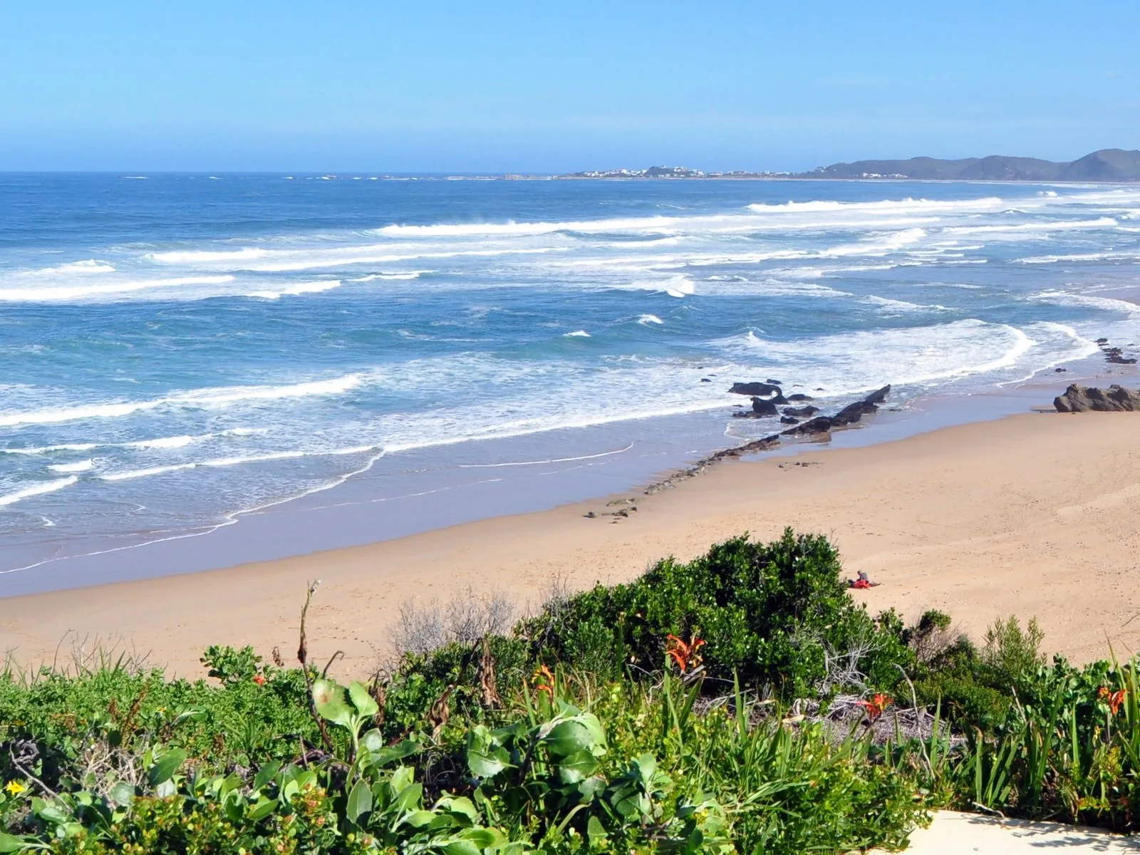
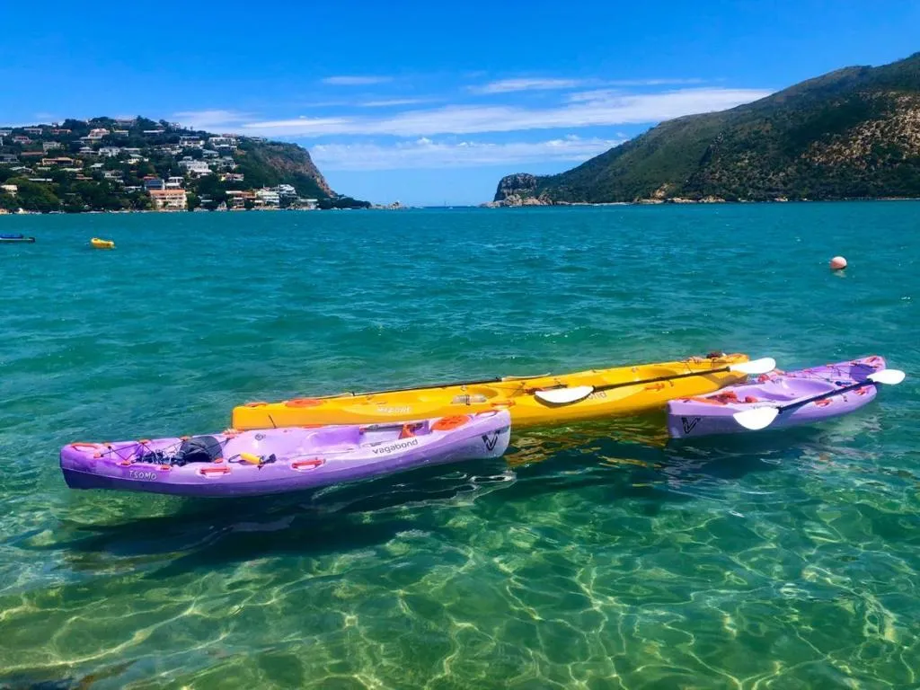
Yes, there are beaches, and they are estuary beaches rather than surf beaches. The residents' association goes as far as calling them Knysna's most popular, which is their claim about their own island rather than ours, but it tells you these are not a secret in the summer holidays.
The named spots around the island perimeter
These are the association's own words for each place, not ours:
What the association names
- Bollard Bay — "beautiful sandy beaches".
- Greenhole and Thornely Park — "popular waterside picnic areas with safe bathing".
- Land's End — a beach that is "both sheltered and secluded".
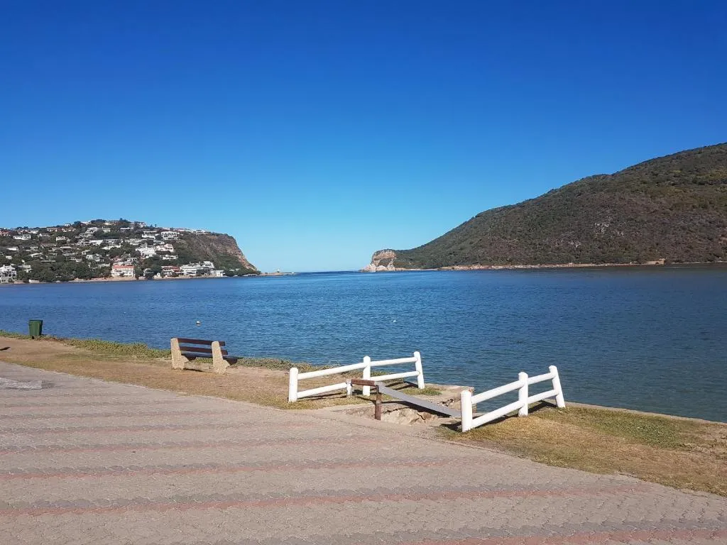
- Cearn Drive — in their words, "a popular promenade with spectacular views of the Heads", the two rocky headlands at the mouth of the estuary. The western one, the undeveloped one, is Featherbed Nature Reserve.
The Steenbok Reserve towpath, at the other end of the island, has views inland to the distant Outeniqua mountains — that description is ours rather than theirs.
All of which is subject to the tide, as above. "Safe bathing" and "sandy beach" both describe a place at the top half of the tide — and, on Greenhole, a spot the council's own sampling now puts above the recreational guideline.
One update on Greenhole, which is ours rather than the association's. Knysna Municipality samples the estuary every month against a recreational guideline of 500 E. coli per 100ml. Greenhole has been above that guideline in every report since May 2026 — 2 500 in May, 890 in June, 810 in July and 1 010 in September, each flagged non-compliant by the council.
The description above is quoted accurately from the residents' association and we have left it as they wrote it. The council's readings are simply more recent, and on this one spot they point the other way. Check the current month on the municipality's estuary water quality page before swimming there. Bollard Bay, round the island, has been inside the guideline in seven of the eight reports published in 2026.
Which Kind of Place to Stay Suits Which Trip
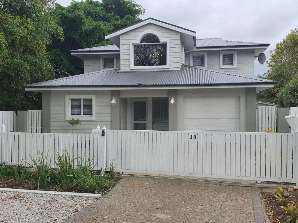
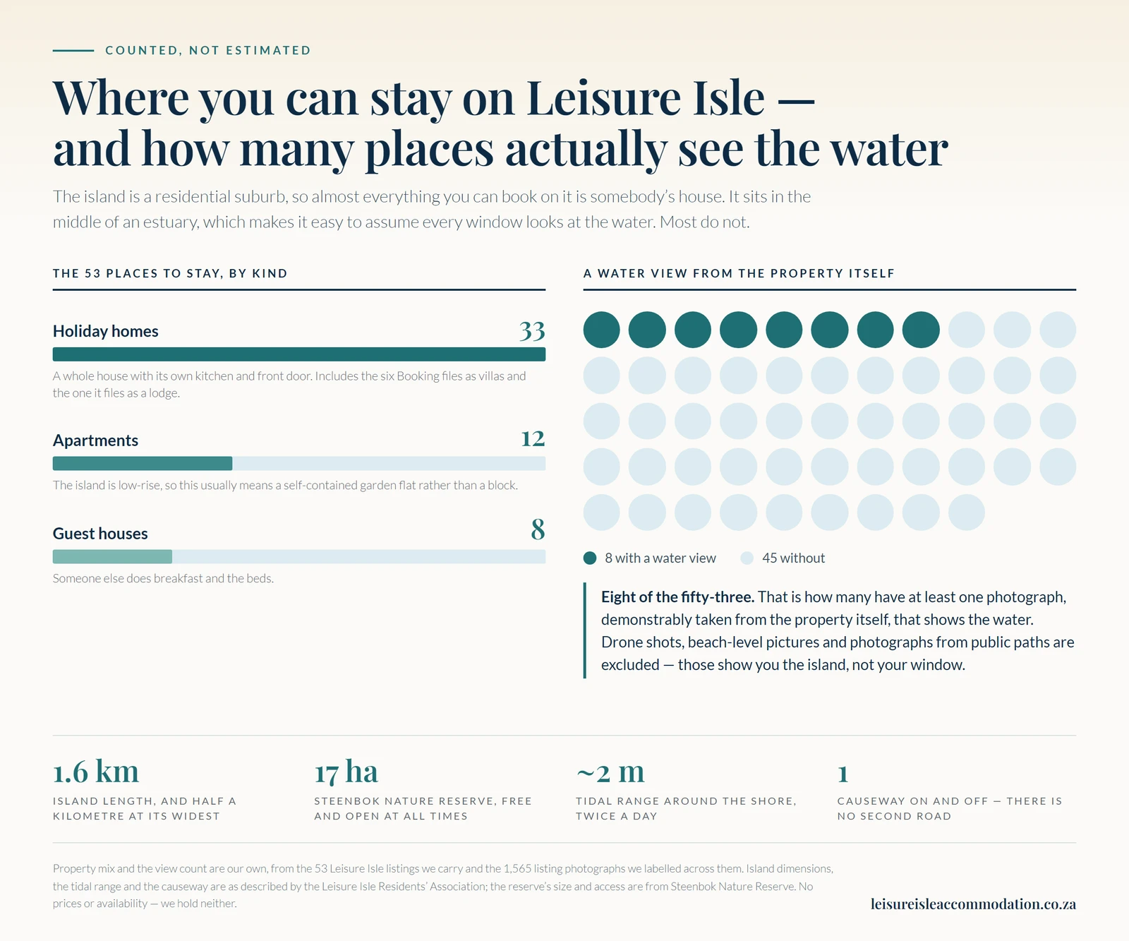
We list 53 places to stay on Leisure Isle, and they fall into three groups. Because the island is a residential suburb rather than a resort strip, most of what you are choosing between is somebody's house.
| Kind | How many | What it usually means, and who it suits |
|---|---|---|
| Holiday homes | 33 | A whole detached house with its own kitchen, front door and garden, let while the owners are away. The largest group by a distance, and the one that fits families and groups who want to cook and spread out. Also carries the listings Booking files as villas and lodges. |
| Apartments | 12 | Rarely a block of flats — the island is low-rise, so this usually means a self-contained garden flat or a converted lower level of a house, with its own entrance. Sensible for two people who want a kitchen without taking on a whole house. |
| Guest houses | 8 | Someone else does breakfast and the beds. The right answer for a short stay, or a first visit where you would rather not think about logistics at all. |
Only eight of the 53 can show you the water from the property itself
One honest note about views, because it is the thing most likely to disappoint you and the thing hardest to check from a listing gallery. The island sits in the middle of the water, so it is easy to assume every window looks at it. Most do not.
We labelled all 1,565 photographs across our 53 properties and counted how many have at least one photograph, demonstrably taken from the property itself, that shows the water: eight of the fifty-three. Drone shots, beach-level pictures and photographs taken from public paths are excluded, because those show you the island, not your window.
If a water view matters to you
- Do not go by the name. Several of the most water-sounding names on the island have no qualifying view photograph whatsoever.
- Confirm it with the owner before booking rather than inferring it.
- Start with the best-evidenced. Brushwood has more qualifying photographs than anywhere else we list, and The Leisure of Dolce Far Niente is among the small handful behind it.
- Or judge for yourself. You can work through the full list and read the galleries.
For what it is worth: 45 of the 53 cannot show you one, and that matters less than it sounds, because on an island this size you are a short walk from the shore wherever you are staying. But being near the water is a different promise from waking up looking at it, and the two get blurred a great deal in how places are described.
Common Questions About Staying on Leisure Isle
Is Leisure Isle a good base for visiting Knysna?
It is a good base if you want quiet, water and space, and you do not mind driving for dinner and groceries. It is the wrong base if you want to walk out of your door into restaurants and shops — Knysna town and the waterfront do that far better. The island is residential and stays residential after dark.
Do you have to pay to get onto Leisure Isle?
We have found no mention of any charge. Leisure Isle is a public residential suburb reached by an ordinary public road across the causeway, rather than a private estate.
There is a manned guardhouse at the entrance, which the residents' association describes as observing comings and goings and giving assistance and information to residents and visitors — not as collecting anything. Steenbok Nature Reserve, once you are on the island, states in its own words that it is open at all times with no entrance fee.
Is Leisure Isle safe?
We cannot make you a promise about that, and you should be wary of any accommodation site that does. What we can tell you is what the residents' association publishes about its own arrangements: a long-standing contract with a local security company, an entrance guardhouse manned at all times, a patrol vehicle and response guard based on the island, day and night patrols with extra cover in the busy holiday periods, and a monitored CCTV network.
The association's own summary is that this leaves the island "virtually crime-free" — their words about their own suburb, not a claim we can independently verify. Take ordinary sensible precautions as you would anywhere.
Is Leisure Isle the same as Leisure Island?
Yes, they are two spellings of the same place. The island's own residents' association, country club and nature reserve write Leisure Isle, and that is the form used here, but Leisure Island is very widely used and you will meet both on maps and listings.
Can you swim at Leisure Isle?
Yes — these are sheltered estuary beaches rather than surf beaches. The residents' association describes Greenhole and Thornely Park as picnic areas with safe bathing, and Bollard Bay as having sandy beaches. Two qualifiers matter.
The first is the tide. With a range of around two metres, a spot that is comfortable swimming at high tide can be a long walk out over sandflats at low tide. The second is water quality, which varies by spot: Knysna Municipality's monthly sampling has had Greenhole above the recreational guideline in every report since May 2026, while Bollard Bay has been inside it in seven of the eight reports published this year. Check the council's current report before swimming.
Is Leisure Isle the same thing as Thesen Island?
No — they are two separate islands in the same estuary, and they are two separate suburbs of Knysna. Leisure Isle is the one described on this page: a residential suburb of detached houses, laid out from the 1930s, with a nature reserve at one end.
Thesen Island is a different place with a different character, and we deliberately do not describe it here, because this site only covers Leisure Isle and we would rather say nothing than summarise somewhere we have not researched to the same standard. If Thesen Island is what you are considering, look it up separately.
Do you need a car on Leisure Isle?
For the island itself, no — it is 1.6 km long and half a kilometre wide, and you can walk from one end to the other. For everything else, including most of your meals and all of your shopping, yes. Parking is a per-property matter, so check what your booking includes.
Where do the facts on this page come from?
Two primary sources, both quoted rather than paraphrased, plus OpenStreetMap and our own counting.
- The island description, the tidal range, the security arrangements, the beaches and the list of what is on the island come from the Leisure Isle Residents' Association's own site.
- The reserve's size, access, vegetation, management and the George Cearn origin story come from the reserve's own site and history page, whose most recent article when this was written was dated 1 September 2026.
- The causeway is described from OpenStreetMap's road data.
- The property counts and the view figure are our own, counted from the 53 Leisure Isle listings we carry.
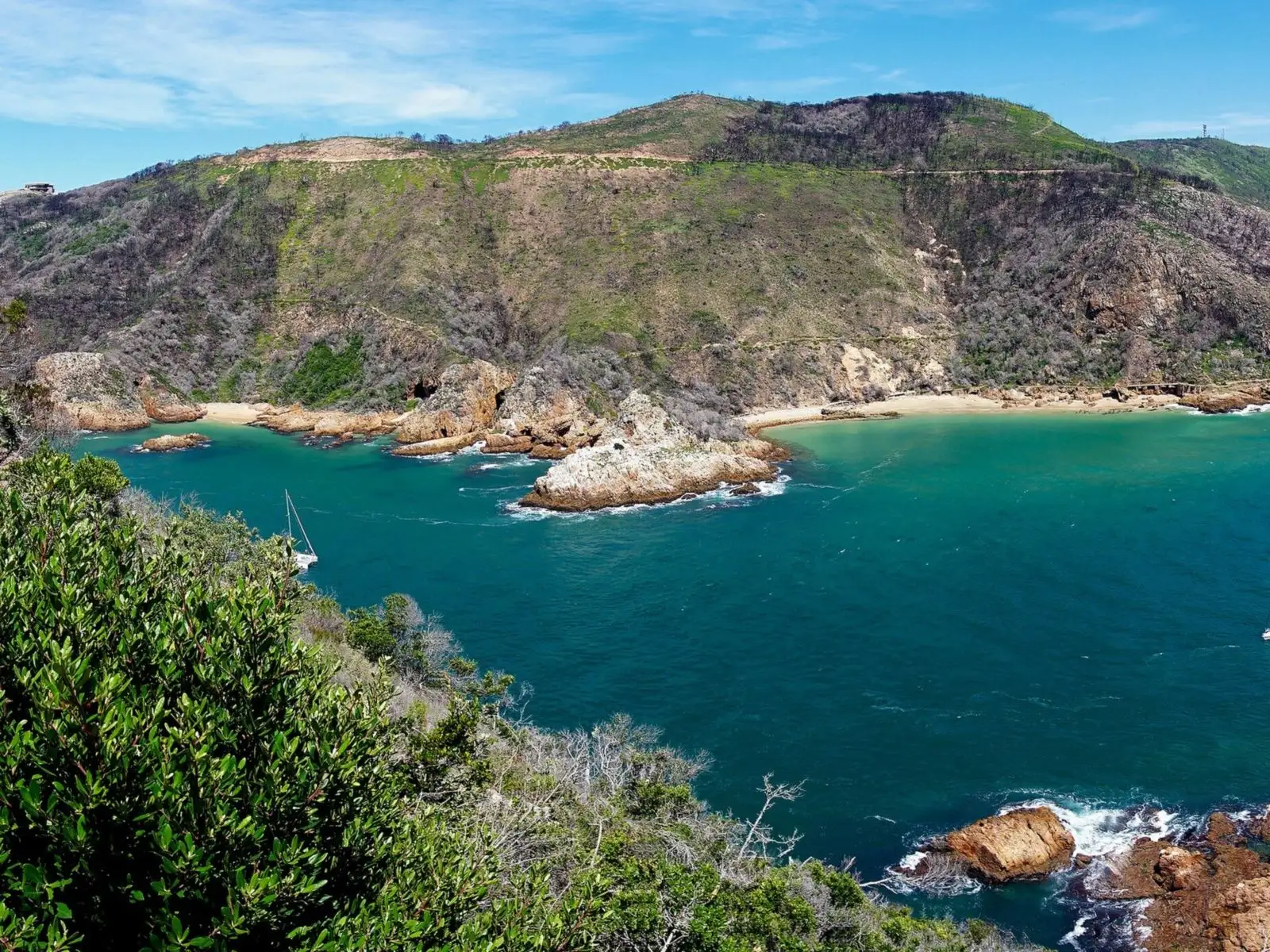
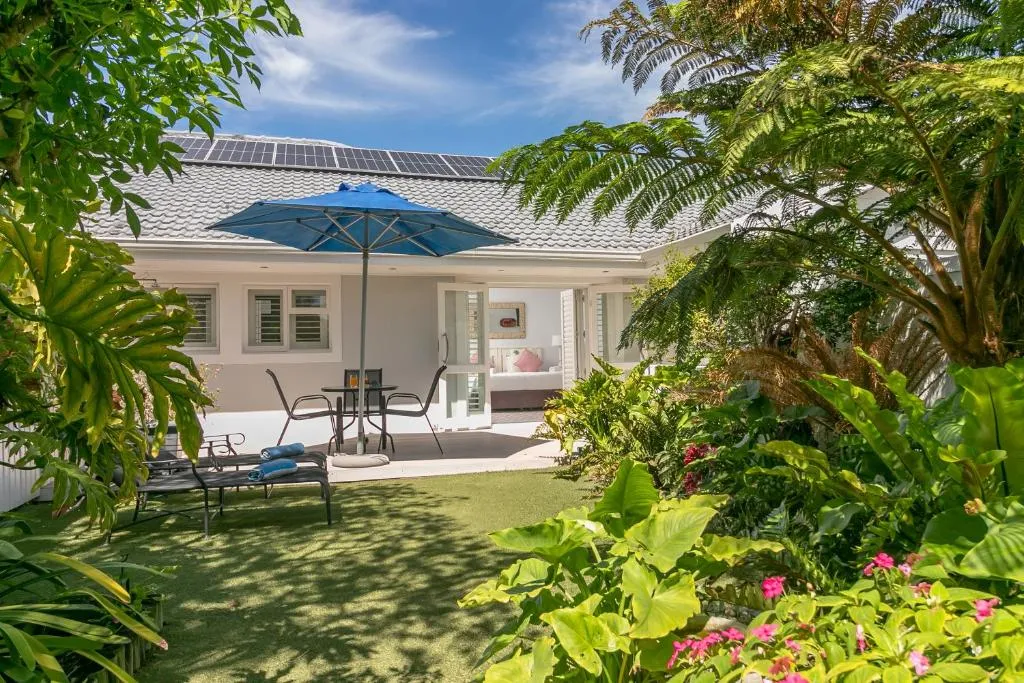
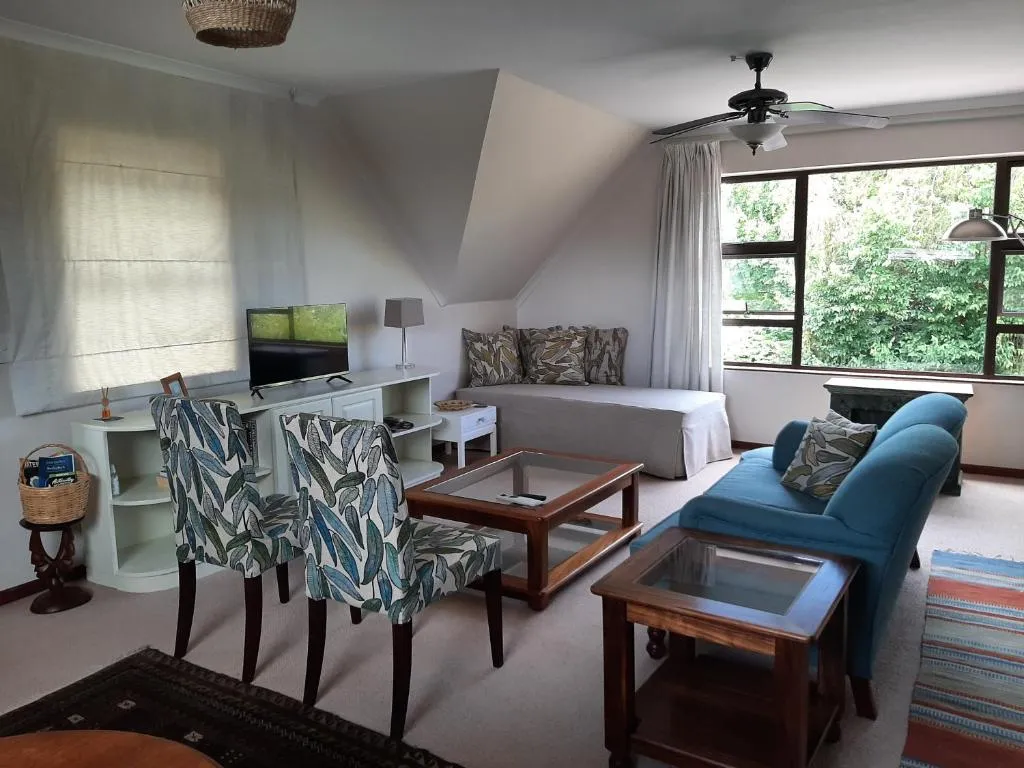
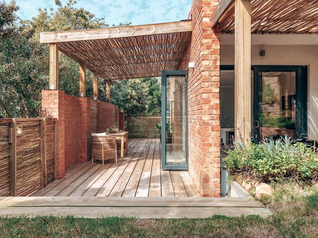
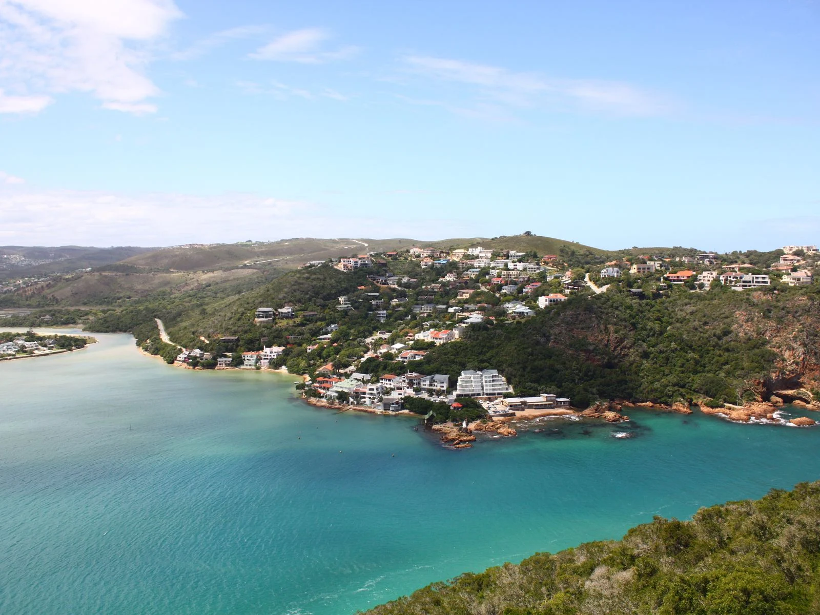
The photographs inside this article are listing photographs from the properties named in each caption, which we show under our affiliate relationship with Booking.com and do not own. The header image is different: it is Knysna Heads from Featherbed by robertsharp, used under the Creative Commons Attribution 2.0 licence and cropped to fit this page. It shows the Heads and the estuary rather than the island itself.
We have not published prices, rates or availability anywhere on this page, because we do not hold them — Booking.com does.
More about how this site works, and what we do not do, is on our about page, and the commercial arrangement is set out in full in our affiliate disclosure. If you know the island and something here is wrong or out of date, please tell us — local corrections are worth more to this page than anything we can read from a desk.